
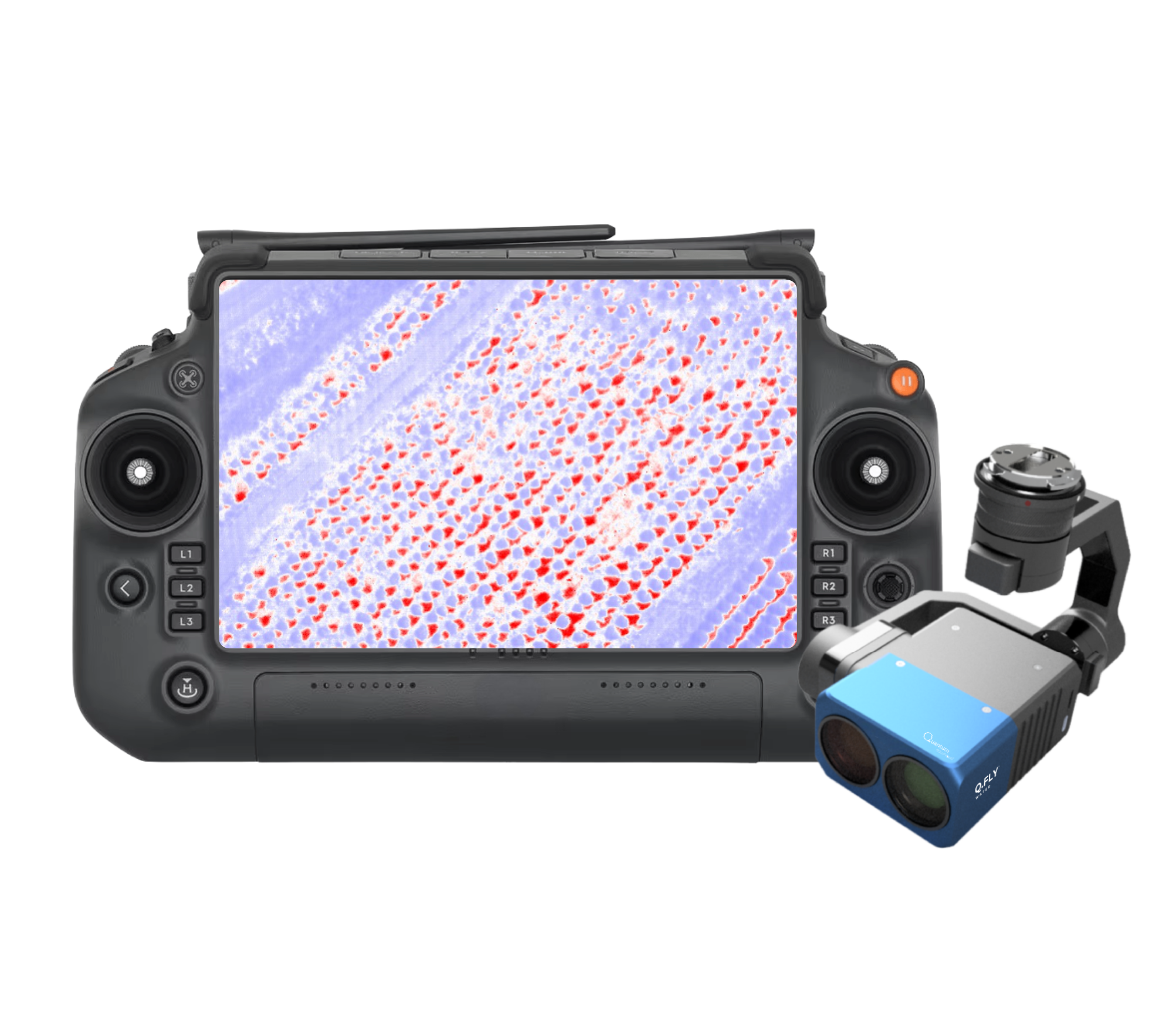
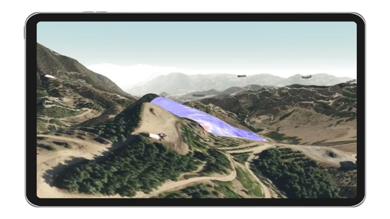
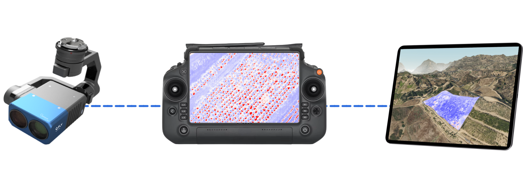
Q.Fly® Water turns invisible moisture variation into actionable intelligence. The dual-band quantum-dot payload computes a Normalized Difference Moisture Index (NDMI) in real time, generating a live, colour-coded moisture map as you fly.
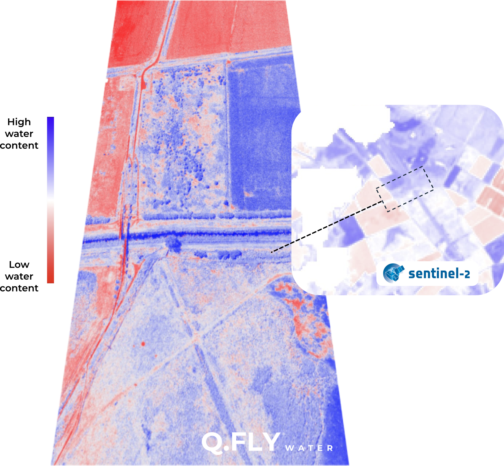
NDMI is the standard for measuring water in vegetation and soil. But satellite NDMI is trapped by fixed orbits, cloud interference and a 20m resolution floor. Q.Fly Water delivers the same proven index - on your terms, your schedule.
Live NDMI from the controller with no orbital schedules, cloud interference or processing delays
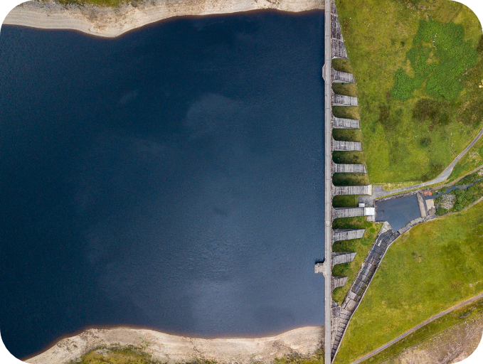
From field-scale coverage to 2cm precision
2-5cm GPS accuracy for actionable flight data
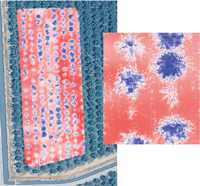
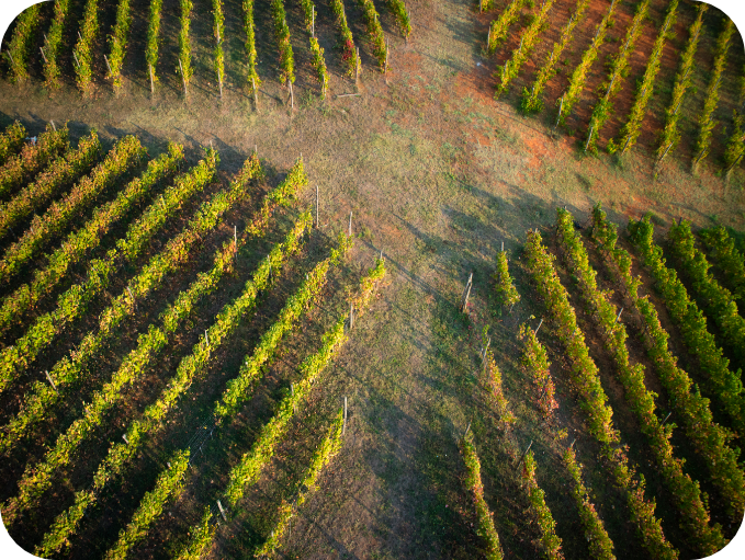
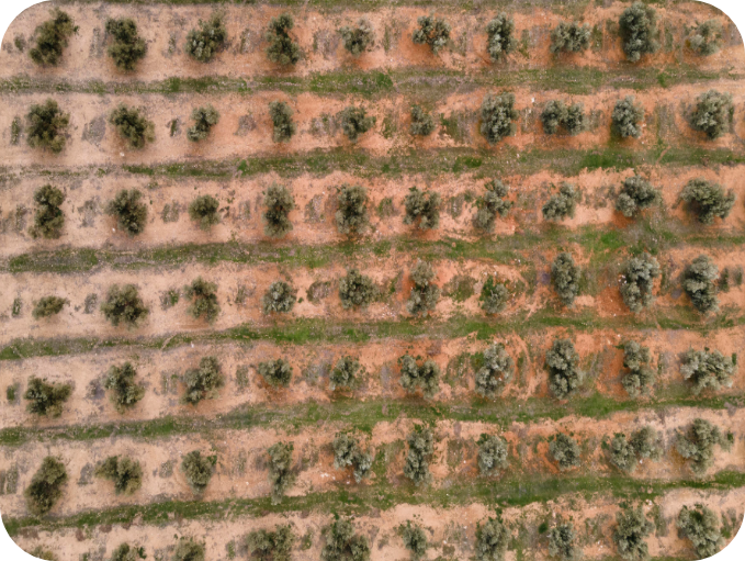
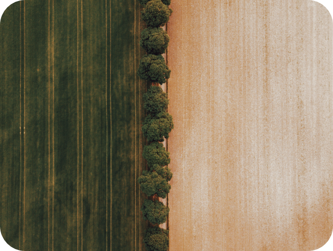
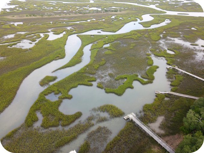
Detect invisible water stress in vegetation before it affects yield
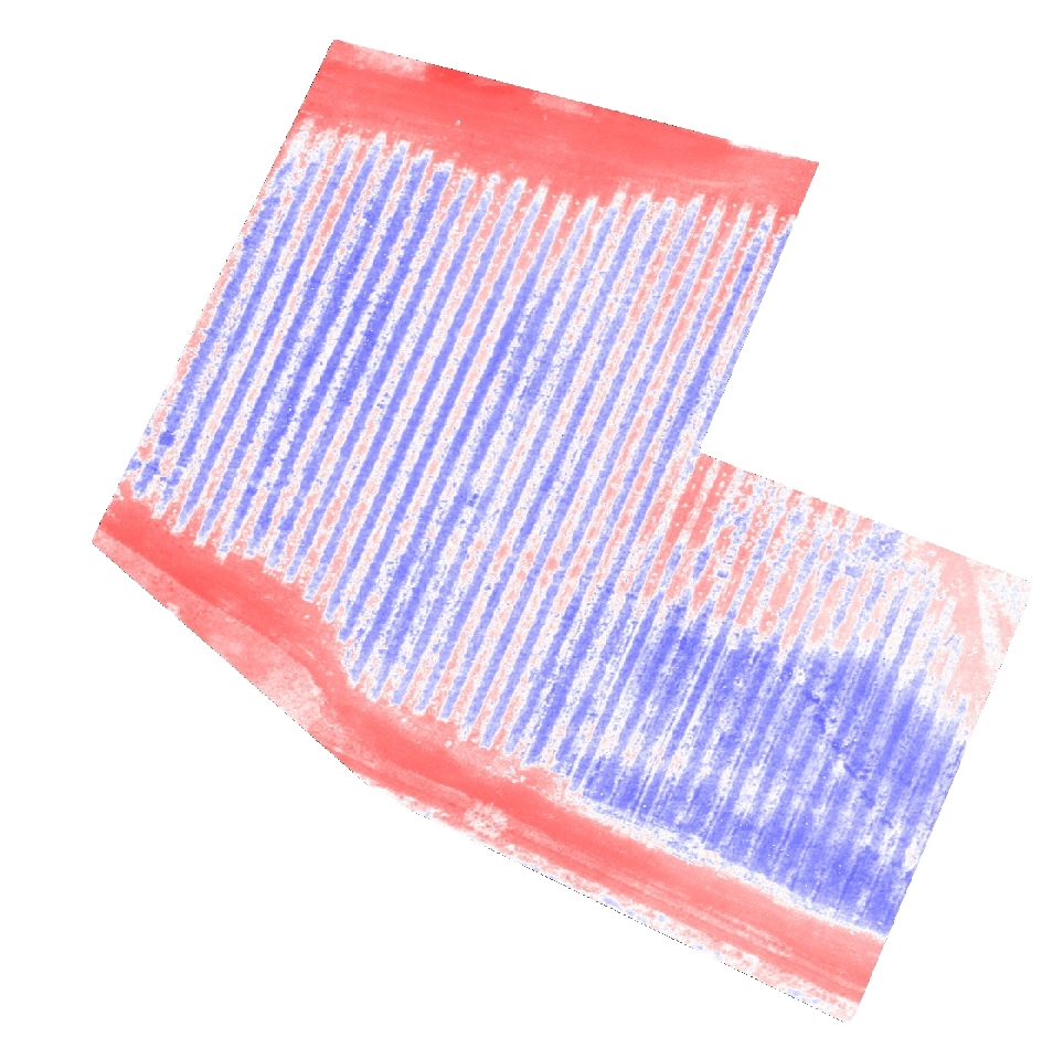
Reveal moisture variation that field averages miss, exposing leaks, blocked lines, and uneven application
Adjust thresholds, isolate zones, and explore your data
Targeted intervention, reduced waste, and clearer insights across land, infrastructure and environment
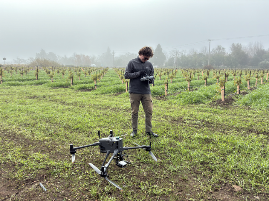
Book an inspection or access the payload for your own operations. All plans include processed orthomosaics delivered through the Q.FLY® portal
Q.FLY Water is deployed by a growing global network of certified inspection providers. Speak to the team about becoming a partner.
Speak to the team