
Map water on-demand
Aerial water intelligence for every environment.
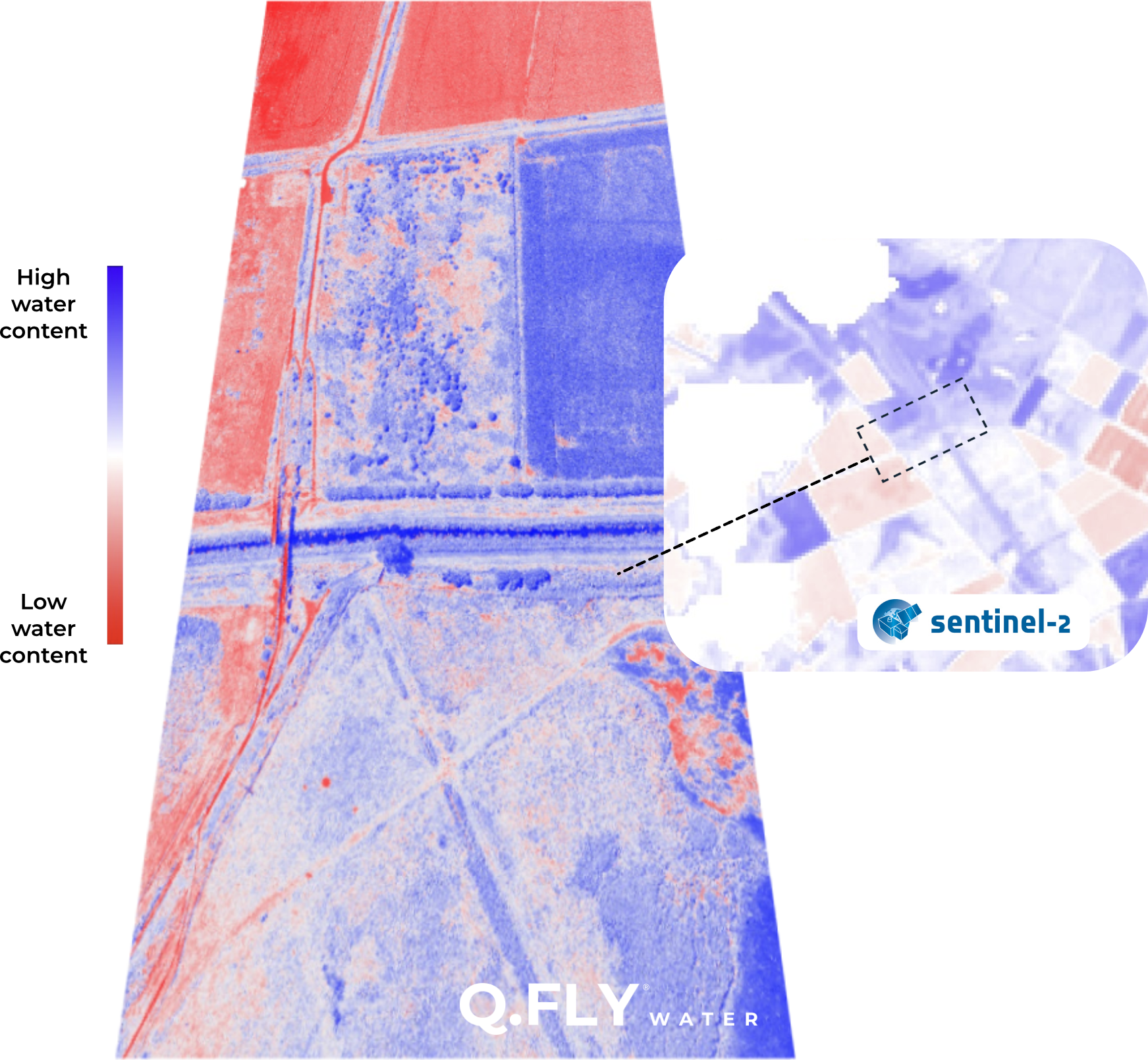
1000x higher resolution than satellite data
NDMI, the Normalized Difference Moisture Index, is the satellite standard for measuring water stress in vegetation and soil. But fixed orbits, cloud interference, and a 20m resolution floor limit what satellites can see.
Q.Fly Water delivers the same proven index, by drone.
Real-time data
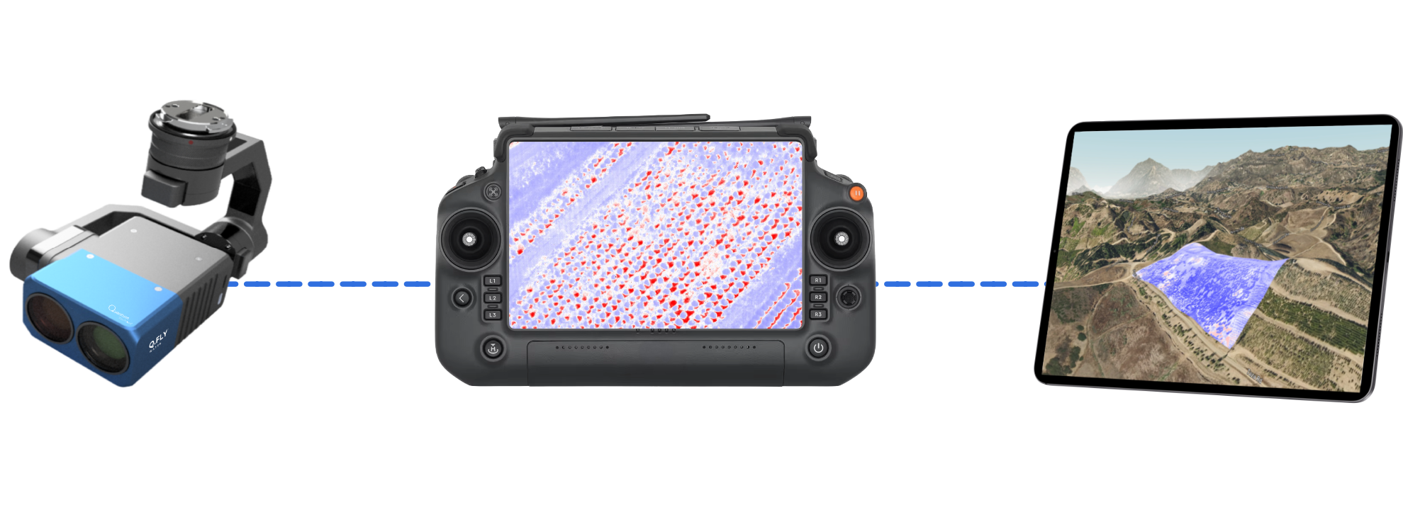
Live NDMI from the controller, with no orbital schedules, cloud interference, or processing delays.
No resolution limits
From field-scale coverage to 2cm precision.
Geospatial precision
2-5cm GPS accuracy for actionable flight data.
See invisible insights at every scale
From regional patterns down to individual plants, Q.Fly Water resolves moisture variation at the scale that matters.
Map Moisture Variation
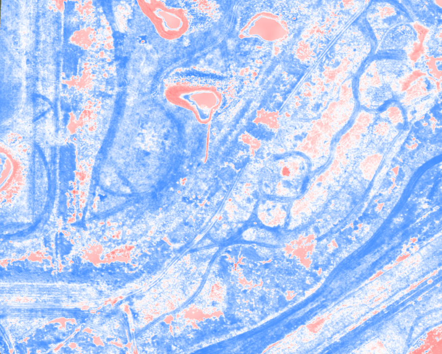
- Environmental remote sensing
- Drainage mapping and site hydrology
- Utility and infrastructure leak detection
Optimise Irrigation
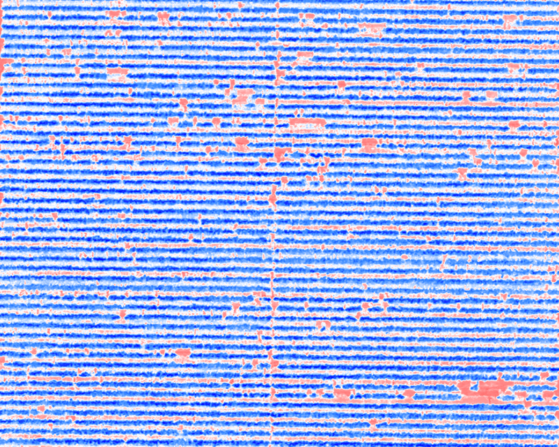
- Vineyard irrigation deficits and faults
- Hull split and yield in nuts, fruit and olives
- Irrigation and wear across turf and golf courses
Detect Plant Stress
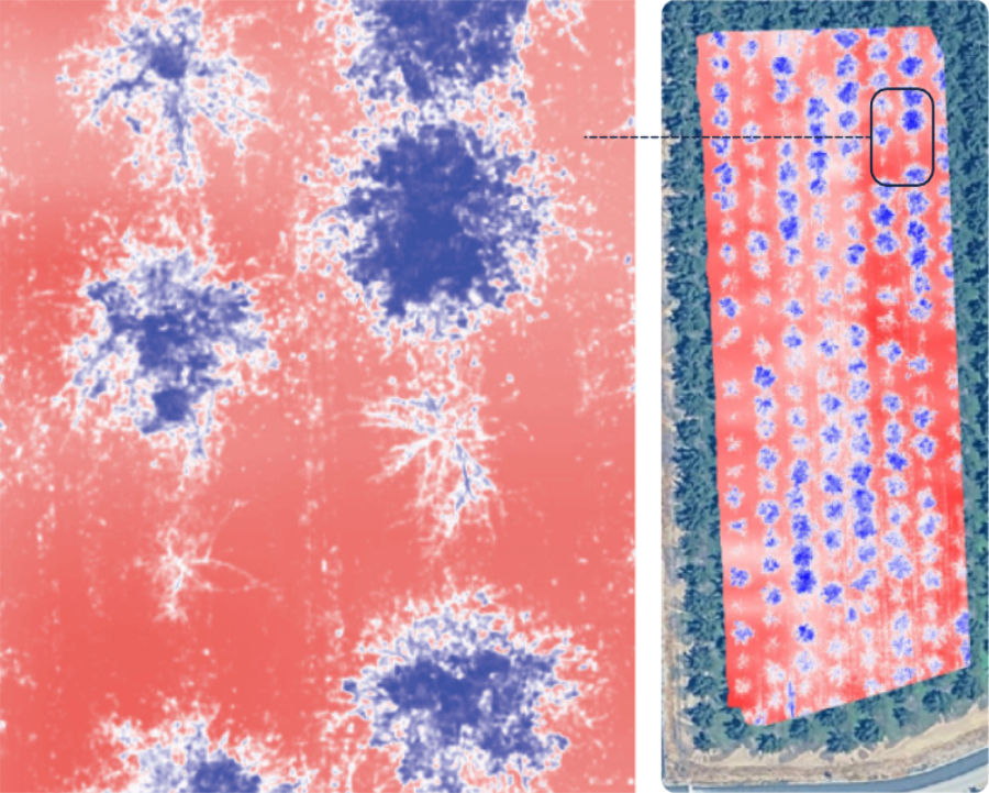
- Early stress detection
- Plant-by-plant comparison
- Early intervention targeting
Explore detailed orthomosaics, in the Q.FLY portal
Adjust thresholds, isolate zones, and explore your data.

Aerial water intelligence for every environment
Targeted intervention, reduced waste, and clearer insights across land, infrastructure, and environment.
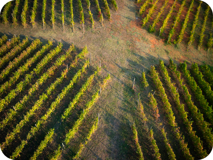
Vineyards
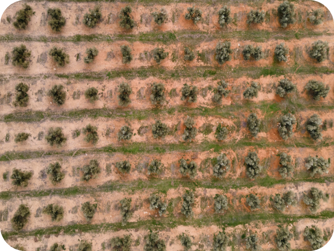
Nut Farms
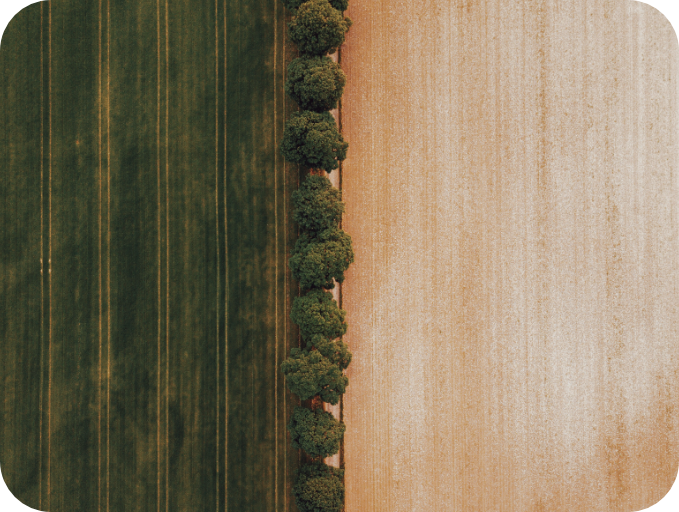
Arable
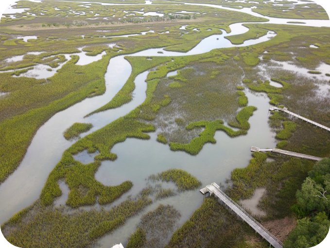
Environment
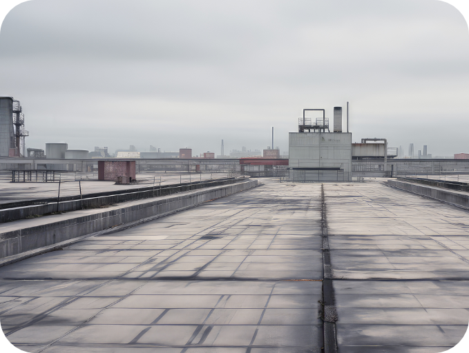
Rooftops
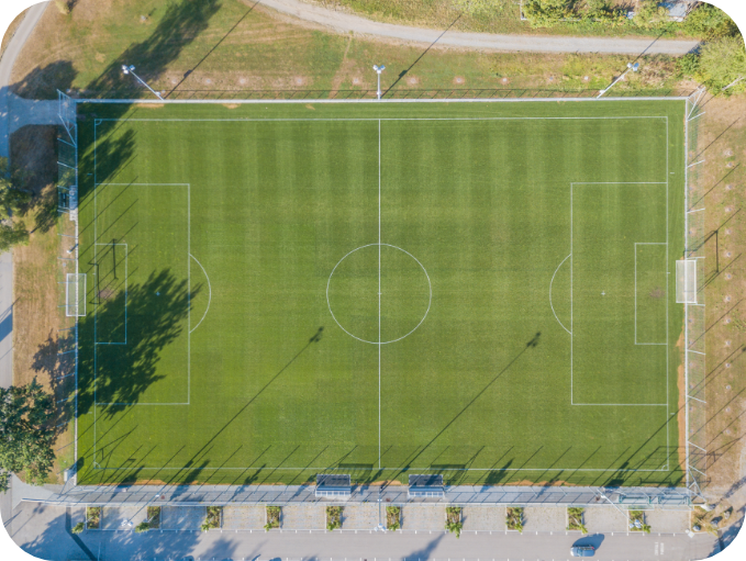
Turf management
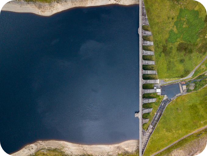
Infrastructure
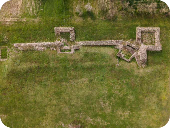
Archaeology
Get started with Q.FLY® Water
Book an inspection or access the payload for your own operations. All plans include processed orthomosaics delivered through the Q.FLY® portal.
Q.FLY Partnerships
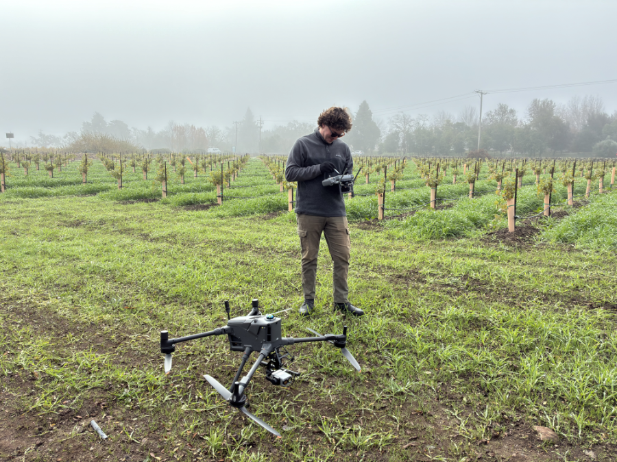
Q.FLY Water is deployed by a growing global network of certified inspection providers. Speak to the team about becoming a partner.
Speak to the team